Showing posts with label #InfoSewer. Show all posts

Friday, November 21, 2014

Showing Multiple Link Attributes in InfoSewer

This blog shows how to display multiple link parameters.

The 1st method would be to use Arc Map Layer properties and label multiple parameters for each gravity main or force main.  The image below shows and example and here is the code inside of Arc Map to do this

Function FindLabel ( [DIAMETER], [Pipe.SHAPE_Length], [COEFF] )
  FindLabel = [DIAMETER] & " m / "  & " " & [Pipe.SHAPE_Length]  &  " m / n "   & [COEFF] 
End Function
Arc Map Label Annotation

Or 

Function FindLabel ( [DIAMETER], [Pipe.SHAPE_Length], [COEFF] )
  FindLabel = " D= " & [DIAMETER] & " m / L="  & " " & [Pipe.SHAPE_Length]  &  " m / n "   & [COEFF] 
End Function
 
Label Properties in Arc Map or Arc GIS

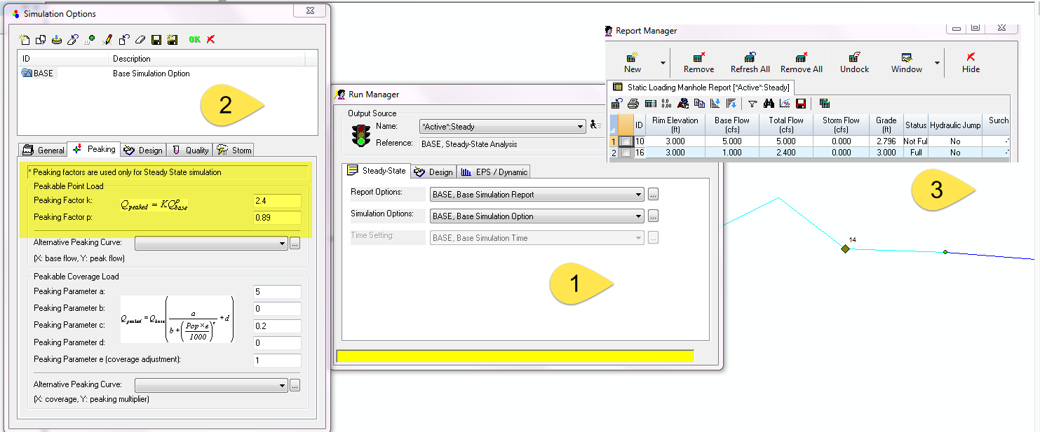
The 2nd method is to use Annotation and Map Display in InfoSewer

If you want to show both pipe diameter and slope on the map of InfoSewer you will have to workaround the limitation of having only one map variable:
1. You can map the diameter using Map Display and then
2. Use the Annotation tool to show the 2nd variable such as Length or slope.
3. Here is an example with different colors for diameter and length

Map Display and Annotation in InfoSewer

Sunday, June 22, 2014

Peaking flow in InfoSewer Steady State applied as Total Flow in an EPS Simulation

One of the advantages of the three Run options in InfoSewer (Bullet 1 in the image) which are Steady Sate, Design and Extended Period or EPS Modeling is that you can use Peaking Flow Factors for the Steady State Loading Manholes (Bullet 2 in the image).  Unfortunately, you cannot use Peaking Factors for EPS simulations which is often a modeling issue.  However, you can copy the Total Flow for each node in the Steady State Output Report and use this Total Flow as an EPS "other" loading (Bullet 3 in the image).  In an EPS Simulation you can use the Advanced Force Main Modeling option and automatically have flow splits for Force Mains and model more complicated Force Main configurations.  If you just simulate the EPS for one hour then you have a quasi steady state simulation with Total Flow (Unpeakable + Peakable) and the Advanced Force Main Solution.
A list of steps you need to take to use the Peak Flow from a Steady State Run in an EPS Simulation include
1.       Use Peaking Factor in InfoSewer for Steady State
2.      Copy Total Loads at Manholes
3.      Use the Total Loads in an EPS simulation
4.      Run the EPS Simulation for a short period of time
5.      If might help to have two scenarios for this copy and pasting
6.      Use the Advanced FM solution for only the EPS Simulation
Peaking flow in InfoSewer Steady State applied as Total Flow in an EPS Simulation

Thursday, May 29, 2014

Overflow in InfoSewer

"Discover the unique water retention capabilities in InfoSewer 💧🛠️:

  • Unlike InfoSWMM, InfoWorks ICM, and InfoWorks CS, InfoSewer maintains its composure under pressure. During Extended Period Simulations (EPS), even when the Hydraulic Grade Line (HGL) kisses the Rim Elevation, no water escapes the chamber and loading manholes. 💦🚫

  • However, keep a watchful eye on those Wet Wells! They will release water once filled to the brim. 🌊🕳️

  • One critical output parameter to monitor is 'Overflow'. Here's a quick guide:

    • Overflow Equation: Overflow = Flow in Link - Q full for the Link
    • Understanding Overflow:
      • A negative Overflow value signals an unfulfilled pipe; it's not at full capacity based on q/Qfull. 📉
      • A positive Overflow indicates a full house; the pipe has reached its max. 📈
    • Measuring Units: Overflow's units align with the units of Flow in InfoSewer.

Stay in control of your network's flow dynamics with InfoSewer's precision in water management 🔍💡."


What is Overflow in InfoSewer?

Tuesday, May 6, 2014

How to Change the Spatial Coordinates in Arc Map for InfoSWMM and InfoSewer

If you have an unknown coordinate system in InfoSewer or InfoSWMM, this is one way to fix the unknown coordinate issue.

Here is how you fix the coordinate issue so you can view your model in Google Maps:
1    1.   Use export manager and save a shape file of your manhole or junction data,
2.      Next (there are a lot of ways to do this) use Arc Map Tools and define the saved shape file as Australian GDA1994 MGA 1956
3.      Now, merge your InfoSWMM Model with the newly created and newly defined Australian GDA1994 MGA 1956 shape file
4.      Next, change the project spatial reference to Australian GDA1994 MGA 1956 and zoom to your layers
5.      You now can have a  background image layer and
6.      You can see the streets next to the inlets of your model in Google Maps.
Arc Map Tools for Defining the Projection of a Shapefile


Saturday, February 22, 2014

How to Make an InfoSewer or H2OMap Sewer Model from SWMM5


"Discover the seamless integration capabilities within Innovyze's suite of software at www.innovyze.com 🌐. Our versatile platforms offer robust import and export functions, ensuring you can effortlessly move model data across various applications. Each tool supports universal formats like CSV and shapefiles 🔄.

Here's how you can capitalize on these features for a SWMM 5 model in H2OMap Sewer or InfoSewer:

1️⃣ Manhole - Import detailed manhole data to maintain network integrity. 2️⃣ Pipe - Ensure accurate pipe flow simulations by transferring essential data. 3️⃣ Outfall - Model outfall conditions with precision. 4️⃣ Pump - Integrate pump operations seamlessly into your network. 5️⃣ Wet Wells - Manage wet well data for comprehensive modeling. 6️⃣ DWF Values - Directly copy to the Other Loading DB Table for accurate dry weather flow representation. 7️⃣ DWF Patterns - Replicate demand patterns by pasting into Pattern Tables.

Elevate your water management projects with Innovyze's interoperable solutions that bridge the gap between SWMM 5 and H2OMap Sewer or InfoSewer 💧🔗🛠️."

H20Map Sewer GUI and Import Manager

Thursday, February 20, 2014

How to Search Twitter for Links connected to SWMM5, #nfoSWMM or InfoSewer via @RDICKINSON for @INNOVYZE

If you have a lot a tweets as I do you can get lost in the tweets despite hootsuite, tweetdeck and other helpful aids.  You can search for a topic using Advanced Search in Twitter (Figure 1) or use a search URL with the search terms and the twitter source in the name to see the found links (Figure 2)

https://twitter.com/search?q=infoswmm%202d%20from%3Ardickinson&src=typd&f=realtime

Figure 1.  Advanced Search in Twitter 

Figure 2. Search Items Found from Twitter

Friday, January 31, 2014

Reasons to use the Advanced Force Main Network Support Option in InfoSewer and H20Map Sewer

See the image for the two main reasons but another reason is that you get a better continuity error with this new(er) feature or option in InfoSewer

A Simple Advanced Model in InfoSewer

Thursday, January 30, 2014

InfoSewer Infographic or Map of Features

A basic Index to @Innovye for Sanitary and Storrmwater Networks

The main features of an InfoSewer Network with labels.  This version uses the normal Force Main solution but if the upper grey set of links is added then you have to use the Advanced Force Main Solution.

InfoSewer Map of Features


Sunday, January 26, 2014

How InfoSewer and InfoSWMM are Extensions in Arc Map with Add On Extensions with Applications


A Possible Arc Map Extensions
B Possible InfoSWMM Add On Extensions to the basic Arc Map Program
C Applications such as InfoSWMM 2D, RDII Analyst and Risk Assessment Manager that work alongside of InfoSWMM or InfoSewer


Sunday, January 12, 2014

How to Create a Geodatabase in InfoWater, InfoSWMM or InfoSewer and InfoSWMM Data Sharing Ideas

How to Create a Geodatabase in InfoWater,  InfoSWMM or InfoSewer (Figure 1) and Ideas for Data Sharing for InfoSWMM or InfoSewer (Figure 2)

How to Create a Geodatabase in InfoWater,  InfoSWMM or InfoSewer
Data Sharing Ideas for InfoSWMM and InfoSewer

Wednesday, December 25, 2013

Rules for Force Mains in InfoSewer and H2OMap Sewer

The image at the bottom shows the rules for Force Mains in InfoSewer and H2OMap Sewer:
1.      Gravity Main
2.     Wet Well
3.     Pump
4.     Chamber Manhole
5.     Force Main  if you have many force mains the node BETWEEN two force mains has to be a Chamber Manhole
a.     The error messages for this are now rigorously enforced and they may not  have been in past versions
6.     Loading Manhole
7.     Gravity Main


Tuesday, December 24, 2013

New Mapping Feature in InfoSewer and H2OMap Sewer for Unfilled Depth and Surcharge Depth

New Mapping Feature in InfoSewer and H2OMap Sewer for Unfilled Depth and Surcharge Depth

This is a new features in H2OMap Sewer 10.5 SP1, Update 1 and InfoSewer SP1, Update 1.  You can now map the Maximum Unfilled Depth and Maximum Surcharge Depth during the Simulation in Map Display.

Unfilled Depth is the depth between the Rim Elevation and the Water Surface in the Manhole – the minimum is zero feet or meters

The Surcharge Depth is the Distance between the Rim Elevation and the Water Surface Elevation in the Manhole – it can be positive or negative (negative means the Node is under pressure)


Wednesday, September 25, 2013

InfoSewer Design of Existing Networks

InfoSewer can design either new or existing networks.  Here is an example of how it updates pipe sizes based on the results of an EPS simulation and d/D constraints.   The d/D for the two upstream gravity mains goes to 1 in the existing EPS simulation (Figure 1) and the velocity exceeds 10 ft/sec in the same two gravity mains (Figure 2).  We are going to use InfoSewer Design for an Existing system and resize the pipe sizes so that the maximum d/D is 0.80 and the velocity is between 1 and 6 feet/sec (Figure 3).  The design reports the needed new pipe diameters and cost (Figure 4) and then when the new pipe diameters are used in a new EPS solution the constraints for d/D are met and all pipes have a d/D value less than 0.80 (Figure 5).

Figure 1.  d/D for the Upstream Gravity Mains in the EPS Solution


Figure 2.  The Velocity for the Upstream Gravity Mains in the EPS Solution


Figure 3.  Design Options for the Existing System Design


Figure 4.  New Pipe Design diameters and d/D values


Figure 5.  After applying the new pipe diameters of 24 and 30 inches, respectively the d/D values do not exceed 0.80.


Saturday, August 10, 2013

How to Make a Small Model out of a Large Model in H2OMAP Sewer and InfoSewer

Subject:  How to Make a Small Model out of a Large Model in H2OMAP Sewer

The process is easy if you use Domain and Facilities.  

Step 1.  Use the Trace Upstream Network Command in Utilities to find the upstream network from your node of interest.  The upstream network is saved to a Domain.

Step 2.  Use the Facility Manager to 1st deactivate the whole network and then 2nd to add the Domain to your Facility or the nodes and links that you will simulate

You now have a smaller network to examine in Detail.  You may have to make a temporary Outfall node to run the model if there are no Outfalls in the model.

Thursday, August 8, 2013

Inflow Time Series in InfoSewer

This is how InfoSewer can use a time series of inflow at a specific node:

1.       Use a mean loading of 1 so that the values in the Inflow Time Series stay the same as your inflow units in InfoSewer (Figure 1)

Figure 1.   Load with a Pattern of Inflow will create a loading to the node based on your inflow time series.

2.      Create a PATTERN that is equal to your inflow time series
3.      The pattern has to have the same time steps as your default Run Manager Pattern option, normally this will  be one hour
4.      The factor column is your inflow in cfs, gpm, lps or mgd (Figure 2)
Figure 2.  The Inflow Time Series Pattern is your Flow

5.      The Base Load should equal your Inflow Pattern (Figure 3)

Figure 3.  Base Flow from the Inflow Time Series Pattern

How to Use the Map Display for the Maximum Adjusted d/D or Maximum q/Q in an EPS InfoSewer Simulation

How to Use the Map Display for the Maximum Adjusted d/D  or Maximum q/Q in an EPS InfoSewer Simulation

You can do a Map Display of the adjusted d/D values (Figure 1)  from the Gravity Main Range Report (Figure 2) to show those pipes that are full thematically.  For example, the links in red in Figure 1 show the effect of the pump blockage and the links in green are those NOT full due to the pump blockage.  You will need to copy the adjusted d/D or the maximum q/Q values from the Range report to the Link Information Table to have some values to Map (Figure 3 and 4).   The maximum adjusted d/D or the Maximum q/Q can be mapped using the new link information (Figure 5).

Figure 1  Map Display of the Maximum Adjusted d/D from the Gravity Range Report.


Figure 2.   Maximum Adjusted d/D or Maximum q/Q can be copied from the EPS Range Gravity Main Report.

Figure 3.  Create a new variable In the Link Information Table.

Figure 4.  New variables for the Map Display from the Range Report in the Pipe Information Tables for Each Link.


Figure 5.  Link Information new Parameters of Variables can be used to Display the maximum d/D or q/Q during the EPS simulation.

Steps in Using RDII Analyst for InfoSWMM, ICM and InfoSewer

Subject:  Steps in Using RDII Analyst for InfoSWMM, ICM and InfoSewer

Step 1: Create a Base UH  in the Operation Tab of the Attribute Browser using RDII Analyst (Figure 1)
Step 2: Assign a UH to at Least 1 Node Using the Inflow Icon  
Step 3: Open Up RDII Analyst and Click on New to Create a RDII Session    
Step 4: Define the Flow and Rainfall File     
Step 5: Review the Imported Flow Time Series Step 6: Review the Imported Rainfall  Time Series          
Step 7: Units and RDII Analyst Dates are Controlled by the Simulation Manager   
Step 8: Extract DWF from the Flow Time Series    
Step 9: Assign a UH to at Least 1 Node Using the Inflow Icon  
Step 10: View the DWF Pattern         
Step 11: Create the RDII Time Series          
Step 12: View the RDII Time Series   
Step 13: Run Once Feature to See how Good the Current RTK Parameters are in matching the monitored flow
Step 14: You can use Graph Control to show the mean of the Observed and Predicted RDII on one Graph.        
Step 15: Calibrate the RTK Parameters        
Step 16: Run the GA 
Step 17: Assign the Intermediate Answers  to the UH     
Step 18: View the Calibration Graph  
Step 19: Event Identification   
Step 20: Assign the Found DWF Pattern     
Step 21: Node DWF and RDII Inflow
Step 22: 3 RDII UH's Used in the Simulation of the RDII Flows 


 Figure 1.  RDII Analyst is part of the InfoSWMM or H2OMAP SWMM Suite but the derived RTK parameters can be used in either InfoSWMM, SWMM5, ICM or InfoSewer


InfoSewer Flow Attenuation Sensitivity

InfoSewer Flow Attenuation Sensitivity 

The three Run manager parameters, Maximum Number of Segments, Minimum Travel Distance and the Minimum Travel Distance in InfoSewer and H2OMAP Sewer affect the shape and flow attenuation of the flow in a link.  The effect of using the flow attenuation is to reduce the peak flow and spread out the flow compared to the No Flag option (Figure 1). 

Figure 1.  Effect of the Flow Attenuation Option in infoSewer and H2OMAP Sewer

How to use the Flow Splitter in InfoSewer for Dendritic Networks

Subject:  How to use the Flow Splitter in InfoSewer for Dendritic Networks

InfoSewer, which is an extension in Arc Map, does need to have slit split defined where gravity mains merge together to determine the amount of flow in each of the downstream conduits (Figure 1).   The options for the flow splitterin each of the downstream links are:
1.       Automatic Allocation
2.       Fixed Flow Percentage
3.       Variable Flow Percentage and
4.       Inflow-Outflow Curve 
At an outfall where the invert of the outfall pipe is raised compared to the inverts of the incoming and outgoing pipes a flow split of Variable Flow Percentage or Inflow/Outflow curve may work better (Figure 2). 

Figure 1. Options for Performing a Flow Split in InfoSewer


Figure 2.  The Effect of the flow split can be used to model complex situations in a dendritic model with outfalls.

AI Rivers of Wisdom about ICM SWMM

Here's the text "Rivers of Wisdom" formatted with one sentence per line: [Verse 1] 🌊 Beneath the ancient oak, where shadows p...