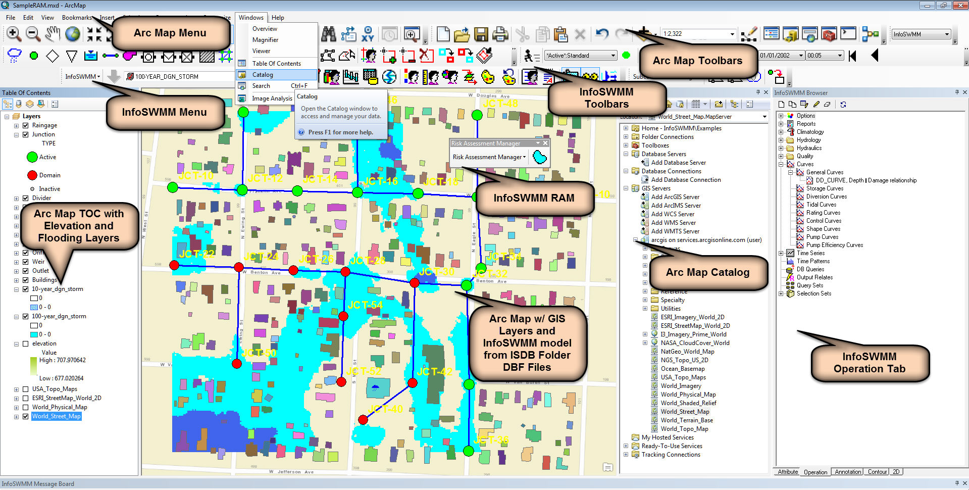
ArcGIS backwards conversion for #INFOSWMM, #INFOSEWER and #INFOWATER
If you make the MXD a zero byte file it will strip away any Arc GIS specific information which allows you IWDB or ISDB folder to be used in any version of Arc GIS. You can do the following to make the zero byte MXD file:
1. Use Windows Explorer make a new Text File
2. Use Windows Explorer to copy the name of the existing MXD file
3. Delete the existing MXD file
4. Rename the Text file with the name of the MXD file
5. The MXD file will now have no content with a size of zero bytes
6. You are not supposed to add the DBF Files, those are loaded when you open up the MXD file
 |
| ArcGIS backwards conversion for #INFOSWMM, #INFOSEWER and #INFOWATER |